
Samstag, 2. Juli 2016
160702 Frauensee
neill, 18:50h
A tour planned by Inge. Out to the Frauensee and back. The original plan was a bit longer but it rained and was generally looking like we were going to get very wet.
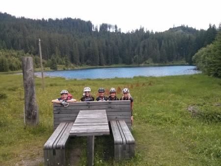
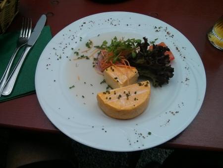
On the way back we stopped at the Falkenstein Restaurant in Pfronten.
65km and 780 meters of climbing. Track is at http://www.gpsies.com/map.do?fileId=gfwuxyukbrymdajd
Pictures at https://goo.gl/photos/JYAG6B6TM26n8ogq6
Inges pictures at https://www.google.com/url?hl=en-GB&q=https://picasaweb.google.com/lh/sredir?uname%3DSpyderwomanTV%26target%3DALBUM%26id%3D6303217317790472705%26authkey%3DGv1sRgCOuC0_jdpbjQDg%26invite%3DCK7mx5oE%26feat%3Demail&source=gmail&ust=1467695183122000&usg=AFQjCNHX1IFIY_JA2xvcCcopFA9IJ4DeFA
... comment