
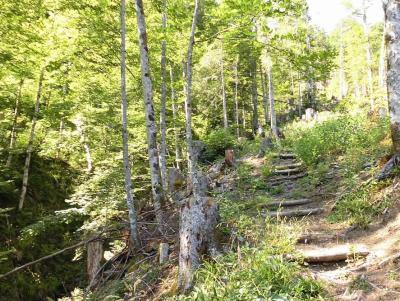
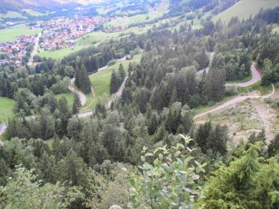
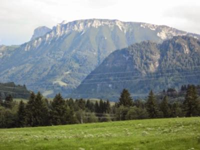
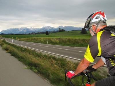
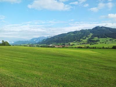
Just me alone on my road bike. The long way to the Roßberg Alpe for a "Brotzeit".
In the evening I went swimming with Rhiannon.

67 km
Track at http://www.gpsies.com/map.do?fileId=zqfnthjzbphwcnsy
Pictures at https://plus.google.com/u/0/photos/103827427036815679772/albums/6030336146678088705
... link (0 Kommentare) ... comment
Pictures at https://plus.google.com/u/0/photos/103827427036815679772/albums/6035783557911106593
... link (0 Kommentare) ... comment
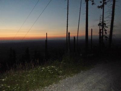
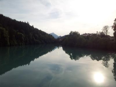
Another great evening in the mountains.
35 km and 970 meters of climbing
Track is at http://www.gpsies.com/map.do?fileId=ngfgmclaslqfvimu
Pictures are at https://plus.google.com/u/0/photos/103827427036815679772/albums/6030336146678088705
... link (0 Kommentare) ... comment
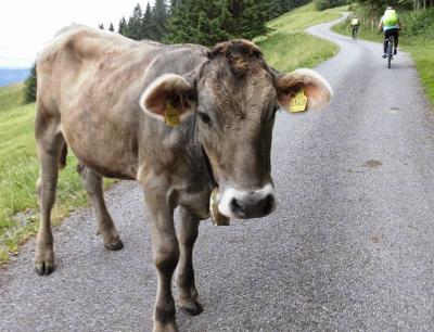
Three of us went through the Königsstrasse to Sonthofen and then back via the Jochpass.
At the bottom of the pass the Bad Hindelangers were playing their Alp Horns and at the top the Oberjochers. Jon made a video with the Alphorns as background music. You can watch it at https://www.facebook.com/photo.php?v=10204352693965926
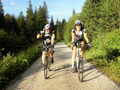
66 kms
Track at http://www.gpsies.com/map.do?fileId=kfmvuqaxwahrtjqm
Jon's photos ara at https://plus.google.com/photos/+JonFrench/albums/6001035885012242001/6036597563877839778?pid=6036597563877839778&oid=100547066824249637955
... link (0 Kommentare) ... comment
Great fun!
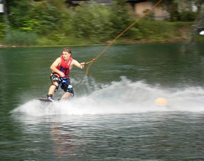
Lucas French on a wave board.
Pictures at https://plus.google.com/u/0/photos/103827427036815679772/albums/6036002061461750641
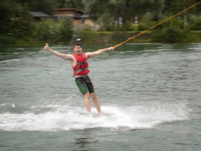
Max showing us how to ride a "plate".
... link (0 Kommentare) ... comment
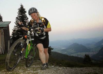
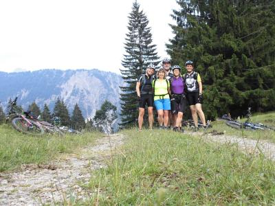
Three of us had never cycled up the Breitenberg and were amazed by the stunning view at the top.
On the way home we stopped at the Kögelhof.

47 km and 1170 meters of climbing
Track at http://www.gpsies.com/map.do?fileId=avdewgmsegpxlwqw
Pictures at https://plus.google.com/u/0/photos/103827427036815679772/albums/6030336146678088705
... link (0 Kommentare) ... comment
36km and 440 meters of climbing.
Track is at http://www.gpsies.com/map.do?fileId=hcdkmjvkiuqzddmr
... link (0 Kommentare) ... comment
We were in the pub very early :-)
16 km and 636 meters of climbing
Track at http://www.gpsies.com/map.do?fileId=vqdohhypbsdkslrb
Photos at https://plus.google.com/u/0/photos/103827427036815679772/albums/6030336146678088705
... link (0 Kommentare) ... comment
Left at 06:30 and cycle past Neuschwanstein Castle and the Wies Church.

Watched the bike rice start and then back via the Linderhof Palace and the Plansee.
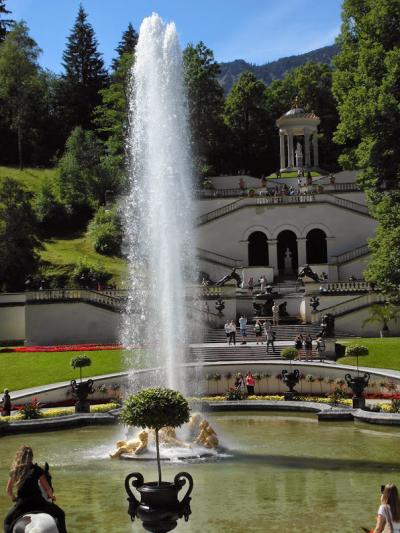
135km and 1260 meters of climbing (mainly on the pass to the Plansee).
Track at http://www.gpsies.com/map.do?fileId=frgilzvwqksvnuge
... link (0 Kommentare) ... comment

37km and 850 meters of climbing
Track is at
http://www.gpsies.com/map.do?fileId=doalvjcmcsdarcyf

Pictures are at https://plus.google.com/u/0/photos/103827427036815679772/albums/6030336146678088705
... link (0 Kommentare) ... comment
Heidi and I cycled up to the Edelsberg and back down on mountain bikes - we decided it was still too wet for road bikes. It was like a mountain bike motorway with Hopsing, Martin, Erhan, Klaus and others on their way up or down.
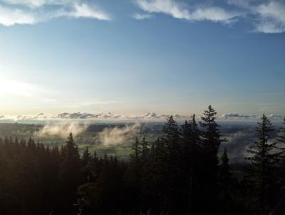
On the way down we saw the Wertach valley filled with mist. It looked like a river of mist was flowing through the countryside and the motorway bridge was an arch above it.
We cycled down the track to Bayerstetten and I got stuck in the mud right up to my axles. Managed to get out with dry feet though - just.
14km and 670 meters of climbing.
Track at http://www.gpsies.com/map.do?fileId=nmeansofzatkvzim
... link (0 Kommentare) ... comment
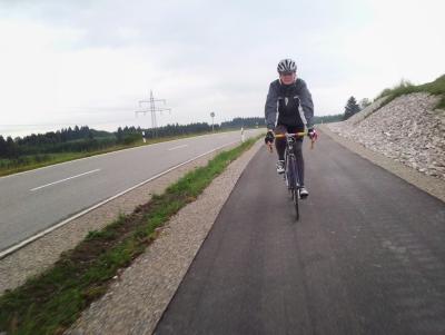
We rode at a steady 22kmh average and my watch said that it "did me good".

Jon in wet weather gear.
In Seeg it started to rain heavily so we took refuge in the fitness center and had a drink. While drinking we watched a monsoon pass over us. Afterwards we cycled home in drizzle - no problem, we had the correct clothing.
58kms and 805 meters of climbing.
Track at http://www.gpsies.com/map.do?fileId=pjlselzwdzlqgnhl
Pictures at https://plus.google.com/u/0/photos/103827427036815679772/albums/6030336146678088705
... link (0 Kommentare) ... comment
Warm weather, great views and fun company.
46km and 420 meters of climbing
Track is at
http://www.gpsies.com/map.do?fileId=hzodamkzhrlgicyi
... link (0 Kommentare) ... comment
Wera had planned the route up to Himmelreich and then down the old Bärenmoos track. After that we cycled a few trails in Pfronten.
32km and 740 meters of climbing.
Track is at
http://www.gpsies.com/map.do?fileId=gfaubcovchtyfnxd
Photos at https://plus.google.com/u/0/photos/103827427036815679772/albums/6030336146678088705?cfem=1
After a drink in the Bistro we went to Hopsings to celebrate his birthday.
... link (0 Kommentare) ... comment
Once round the Grüntensee at a moderate speed. She did really well up the hills.
Alison set off with us but her gears broke at the end of the road.
... link (0 Kommentare) ... comment
My sport watch said that I was "top fit" which is maybe not surprising after the last week and then a three day rest.
21km and 250 meters of climbing
Track at http://www.gpsies.com/map.do?fileId=uvmmoniipuymhrnz
... link (0 Kommentare) ... comment
Track at http://www.gpsies.com/map.do?fileId=nzpmakototaxjwro
Photos are at the end of https://plus.google.com/u/0/photos/103827427036815679772/albums/6027794269999755825?authkey=CN_Wh6fGyoTCwAE
... link (0 Kommentare) ... comment

We cycled a total of 835 kms (reducing the points in the track "averaged" it down to 822) and climbed over 7000 meters. And we had a great six days of fun cycling.
Track at http://www.gpsies.com/map.do?fileId=cltzwwnhditkgqye (is for all five and a half days)
Photos from the whole trip are at https://plus.google.com/u/0/photos/103827427036815679772/albums/6027794269999755825?authkey=CN_Wh6fGyoTCwAE
... link (0 Kommentare) ... comment
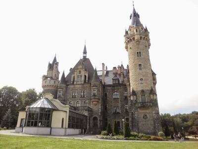
We actually crossed in to Poland twice. At about 662kms we crossed back in to the Czech republic for about 500 meters. before returning back in to Poland.
Track at http://www.gpsies.com/map.do?fileId=cltzwwnhditkgqye (is for all five and a half days)
... link (0 Kommentare) ... comment