Samstag, 30. Januar 2016
160130 Grüntensee
neill, 19:07h
The first bike ride of 2016. The sun was shining and there is no snow worth talking about so I wrapped up warm and cycled round the Grüntensee on my mountain bike.
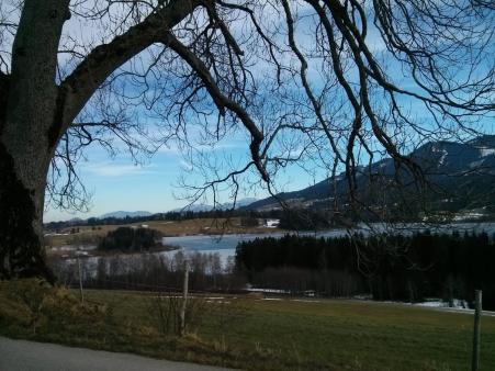
19km and 210 meters of climbing. Track is at http://www.gpsies.com/map.do?fileId=kswpscwrvyhdwyim

19km and 210 meters of climbing. Track is at http://www.gpsies.com/map.do?fileId=kswpscwrvyhdwyim
... link (0 Kommentare) ... comment
Freitag, 25. Dezember 2015
151225 Sportheim Böck
neill, 17:42h
Still no winter and still no snow so the mountain bike season has been extended.
Last year I cycled with Max to Sportheim Böck and Christmas Day before the huge lunch. This year there was no Max (he is in the middle of Australia taking photos of kangaroos)
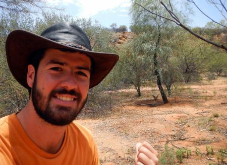
and no lunch :-)
Most of the journey up was in shadow but at the top there was sunshine and great views in to the Alps. Some friends turned up and I enjoyed Cappucino and chocolate cake.
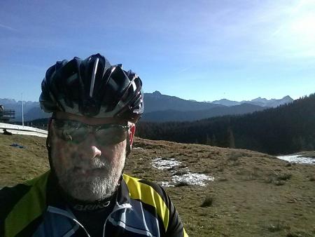
And while I was there I received pictures of Annalena & Daniel in England
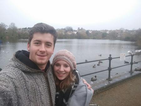
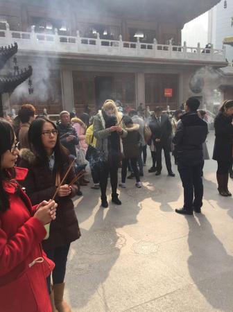
and Rhiannon in a temple in Shanghai.
Put on everything I had with me for the descent through the shady forest.
12km and 592 meters of climbing Track is at http://www.gpsies.com/map.do?fileId=oyovihtzqtasgfkn
Last year I cycled with Max to Sportheim Böck and Christmas Day before the huge lunch. This year there was no Max (he is in the middle of Australia taking photos of kangaroos)

and no lunch :-)
Most of the journey up was in shadow but at the top there was sunshine and great views in to the Alps. Some friends turned up and I enjoyed Cappucino and chocolate cake.

And while I was there I received pictures of Annalena & Daniel in England

and Rhiannon in a temple in Shanghai.

Put on everything I had with me for the descent through the shady forest.
12km and 592 meters of climbing Track is at http://www.gpsies.com/map.do?fileId=oyovihtzqtasgfkn
... link (0 Kommentare) ... comment
Sonntag, 20. Dezember 2015
151220 Atlesee
neill, 18:42h
A warm sunny day. Late in the afternoon Heidi finished work and rang up to say "want to go mountain biking?" The answer was (of course) yes so we managed a quick 20km. Got a puncture so returned after dark.
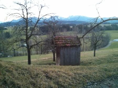
Unexpected fun in December.
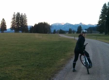
21km and 257 meters of climbing. Track at http://www.gpsies.com/map.do?fileId=qpgufdnwnxjkwqja

Unexpected fun in December.

21km and 257 meters of climbing. Track at http://www.gpsies.com/map.do?fileId=qpgufdnwnxjkwqja
... link (0 Kommentare) ... comment
Sonntag, 15. November 2015
151114 Oyer Moos
neill, 14:24h
Another "late autumn" day and Heidi had found a new path that she wanted to show me. We didnÄ't really have a plan as is obvious when you look at the track at http://www.gpsies.com/map.do?fileId=hsmajacrawluydtc We tried many new tracks that turned out to be dead ends and crossed and recrossed our tracks on the moors.
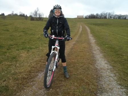
But it was a fun morning.
29km with 492 meters of climbing.

But it was a fun morning.
29km with 492 meters of climbing.
... link (0 Kommentare) ... comment
Sonntag, 8. November 2015
151107 Falkenstein
neill, 12:43h
We are currently enjoying an amazing autumn. We have had the first snow in the mountains but now we are back to late summer temperatures.
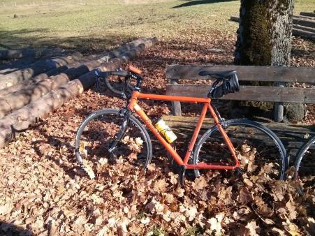
Heidi needed to buy a voucher from the Falkenstein Hotel so we took our race bikes out for a run. Short trousers and short sleeve tricot. And I was still sweating on my way up the mountain. Unluckily I reset my GPS about half way so have neither distance or climb.
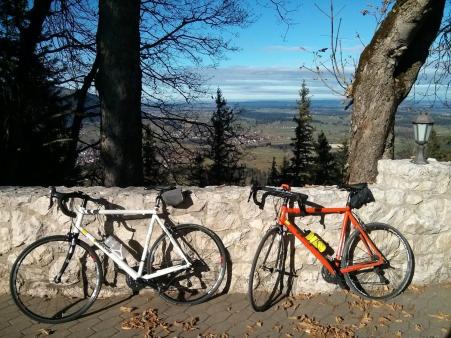
Enjoyed a drink in the sunshine on the terace. Great way to spend a sunny November morning.

Heidi needed to buy a voucher from the Falkenstein Hotel so we took our race bikes out for a run. Short trousers and short sleeve tricot. And I was still sweating on my way up the mountain. Unluckily I reset my GPS about half way so have neither distance or climb.

Enjoyed a drink in the sunshine on the terace. Great way to spend a sunny November morning.
... link (0 Kommentare) ... comment
Samstag, 3. Oktober 2015
151003 Alttrauchburg
neill, 21:44h
Inge had a fantastic plan and we cycled it today. We started directly on the European Watershed where the waters of the Rhine meet the waters of the Donau. Cycled along fantastic trails to the ruin of Alttrauchburg.
On the way down I went over the handlebars and broke my second helmet in 30 days.

On down in to Wenegntal and then up the Adelegg and on to Alpe Wenger Ecke which was much too full. Over to Eschacker Weiher and lunch in Freitag then back to the cars.
Some one thought it might be nice to cycle home so Hopsing, Heidi and I cycled the 40 kms and 500 meters of cycling home. Of course we didn't take the direct route because Heidi thought it would be good to include "Kreuzbänkle".
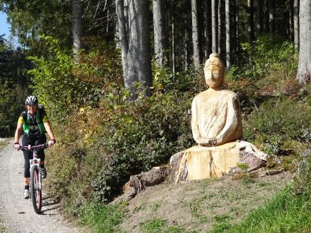
Great day with fantastic people!
73km and 1500 meters of climbing.
Track is at http://www.gpsies.com/map.do?fileId=sywlqsfwyyfhkmhy
My pictures are at https://goo.gl/photos/xCYQJLPpjkG1QAP86
Pictures from Inge at https://picasaweb.google.com/SpyderwomanTV/8TourAlttrauchburgSchwarzeGrat031015?authkey=Gv1sRgCPLu99XKqfOiDg&feat=email
On the way down I went over the handlebars and broke my second helmet in 30 days.

On down in to Wenegntal and then up the Adelegg and on to Alpe Wenger Ecke which was much too full. Over to Eschacker Weiher and lunch in Freitag then back to the cars.
Some one thought it might be nice to cycle home so Hopsing, Heidi and I cycled the 40 kms and 500 meters of cycling home. Of course we didn't take the direct route because Heidi thought it would be good to include "Kreuzbänkle".

Great day with fantastic people!
73km and 1500 meters of climbing.
Track is at http://www.gpsies.com/map.do?fileId=sywlqsfwyyfhkmhy
My pictures are at https://goo.gl/photos/xCYQJLPpjkG1QAP86
Pictures from Inge at https://picasaweb.google.com/SpyderwomanTV/8TourAlttrauchburgSchwarzeGrat031015?authkey=Gv1sRgCPLu99XKqfOiDg&feat=email
... link (0 Kommentare) ... comment
Montag, 28. September 2015
150928 Moor trail
neill, 22:56h
A quick "after work" bike ride through the woods and across the moors.
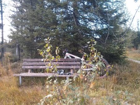
Track is still in my GPS as the cable is at work but "Garmin connect says:
19 kms with 190 meters of climbing.
[Later] Track is at http://www.gpsies.com/map.do?fileId=ltadtdrkvmrvufjd and says 19km with 245 meters of climbing.

Track is still in my GPS as the cable is at work but "Garmin connect says:
19 kms with 190 meters of climbing.
[Later] Track is at http://www.gpsies.com/map.do?fileId=ltadtdrkvmrvufjd and says 19km with 245 meters of climbing.
... link (0 Kommentare) ... comment
Sonntag, 27. September 2015
150927 Grüntensee
neill, 17:28h
My training program said that I needed another hour of training before the week finishes at midnight.
So out on my race bike.
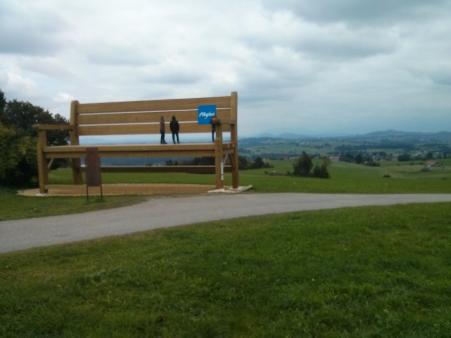
Visited the massive new seat in Mittelberg.
26km and 373 meters of climbing.
http://www.gpsies.com/map.do?fileId=tfedrvvwfiedbcdc
So out on my race bike.
Visited the massive new seat in Mittelberg.

26km and 373 meters of climbing.
http://www.gpsies.com/map.do?fileId=tfedrvvwfiedbcdc
... link (0 Kommentare) ... comment
Samstag, 26. September 2015
150926 Oberstdorf
neill, 20:32h
Today was Saturday but I needed to go and look at a ski arena where at the FIS World cup they would like to offer the 5000 spectators free Wifi.
Took the race bike and cycled to the ski arena in Ofterschwang. I then cycled on to Obermaiselstein where the village council would like to offer refugees free Wifi.
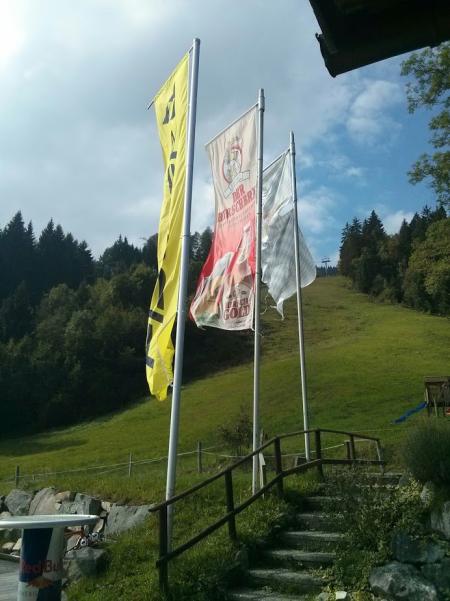
Round the back of the Ochsenberg and then home via the Jochpass.
100km and 1288meters of climbing.
http://www.gpsies.com/map.do?fileId=ylnvjjxtphncluni
Life is great when you can combine work and fun
Took the race bike and cycled to the ski arena in Ofterschwang. I then cycled on to Obermaiselstein where the village council would like to offer refugees free Wifi.

Round the back of the Ochsenberg and then home via the Jochpass.
100km and 1288meters of climbing.
http://www.gpsies.com/map.do?fileId=ylnvjjxtphncluni
Life is great when you can combine work and fun
... link (0 Kommentare) ... comment
Sonntag, 20. September 2015
150920 Tannheimertal
neill, 18:32h
Last night was a great birthday party. Ate too much and drank way too much so I needed to sweat it of today.
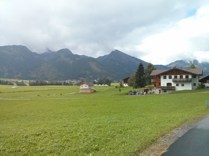
Race bike ride through Tammheimertal
57km with 700 meters of climbing.
http://www.gpsies.com/map.do?fileId=rrlihdkpcqycimhn
Race bike ride through Tammheimertal

57km with 700 meters of climbing.
http://www.gpsies.com/map.do?fileId=rrlihdkpcqycimhn
... link (0 Kommentare) ... comment
... nächste Seite
