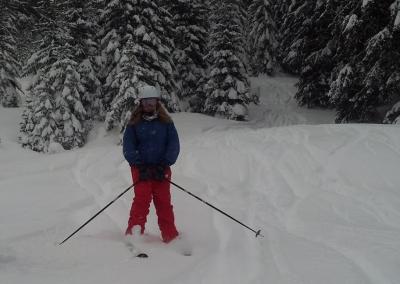
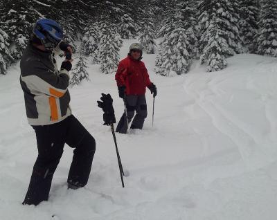
Finished the day by crashing in to Max (or Max crashing in to me - who knows). Max just did a 180° turn but I slid down the mountain.
... link (0 Kommentare) ... comment
... link (0 Kommentare) ... comment
Actually we did a little off roading part of the way as we were checking the location for a new mast and therefore "official".
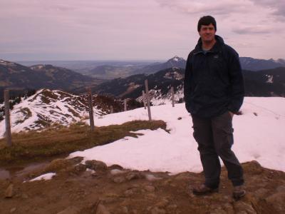
Some of the way the snow was above our knees.
... link (0 Kommentare) ... comment

Track at http://www.gpsies.com/map.do?fileId=numhcywsrnceqsyu
... link (0 Kommentare) ... comment
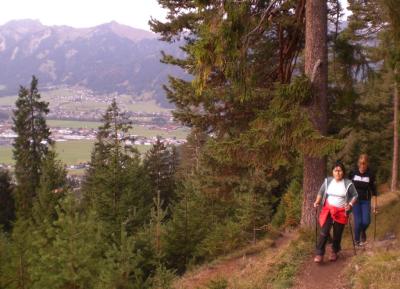
Track is at http://www.gpsies.com/map.do?fileId=bgarssnkxryczfuq but it also includes the drive home because I forgot to turn it off.
Photos at https://picasaweb.google.com/103827427036815679772/WithMonaAndVinzenz?authkey=Gv1sRgCJCajP3S2IXmuQE
... link (0 Kommentare) ... comment

It took us six hours from bottom to top with the second three hours being a steep rock climb to the summit ridge.
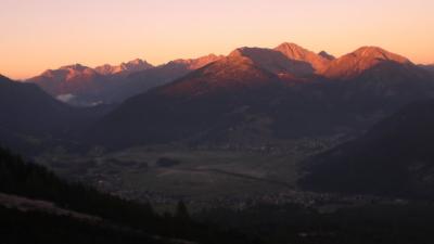
We caught the cable car back down which took about 10 minutes.
The track ist at http://www.gpsies.com/map.do?fileId=fjvzqbxpzcrqboku 1700 meters of climbing in 6 kilometers.
All my pictures at https://picasaweb.google.com/103827427036815679772/Zugspitz2012#
Max's pictures at https://plus.google.com/photos/102257273463070793435/albums/5796473961752264017
... link (0 Kommentare) ... comment

I fell off twice. Once I caught the handlebar on a tree going down a trail but luckily landed on my helmet. The second time was a bit more dramatic and my bike landed on me.

The tour is amazing. Some of the uphill and some of the downhill trails were on my limits but that is how you get better (and bloody knees).
More photos at https://picasaweb.google.com/103827427036815679772/2012Cycling6#
Track at http://www.gpsies.com/map.do?fileId=bzdbdyxibpdwxvun
... link (0 Kommentare) ... comment
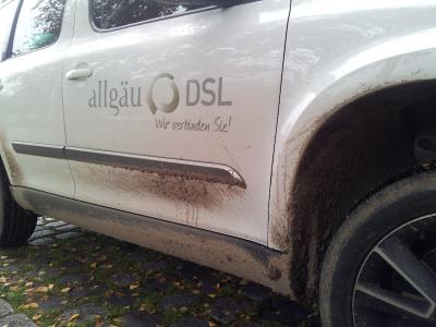
Today was Sunday so I suppose it was officially fun but I got a lot of work done as well. What a great job.
... link (0 Kommentare) ... comment
... link (0 Kommentare) ... comment
http://www.gpsies.com/map.do?fileId=qendvgkhpzpcfktd
... link (0 Kommentare) ... comment
... link (0 Kommentare) ... comment

Some short trailing and great views.
Track at http://www.gpsies.com/map.do?fileId=boaxovvspyczbzdg
10km and 500m of climbing.
All the pictures at https://picasaweb.google.com/103827427036815679772/2012Nauders4?authkey=Gv1sRgCKPP8dO7hNGmngE
Wera's pictures at https://picasaweb.google.com/115576074860061116725/Nauders2012?authkey=Gv1sRgCI3bhpCLt6fLfQ
... link (0 Kommentare) ... comment
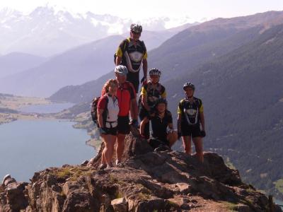
So we used two cable cars and our bikes to cycle round the Reschensee. Started in Austria then downhill in to Italy. Along the shore then up a lift in Italy and then back through the mountains to Austria and a well deserved swim in the Schwarz See.
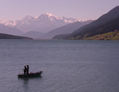
Track at http://www.gpsies.com/map.do?fileId=klokxmkvubxbqony
48km and 2200m of climbing (but 1400 of that was with the two cable cars)

More photos at https://picasaweb.google.com/103827427036815679772/2012Nauders3?authkey=Gv1sRgCN6t1OCHrMLcSQ#
Wera's pictures at https://picasaweb.google.com/115576074860061116725/Nauders2012?authkey=Gv1sRgCI3bhpCLt6fLfQ
... link (0 Kommentare) ... comment

Starting from Nauders in Austria then downhill in to Switzerland. Back in to Italy via the legendary Val D'Uina with its amazing gorge. Cleverly we had already parked the bus in Italy so we drove back to Austria.

Track at http://www.gpsies.com/map.do?fileId=adwuyxlmwjbiirbu
49km and 1500m of climbing.
More pictures at https://picasaweb.google.com/103827427036815679772/2012Nauders2?authkey=Gv1sRgCPqzv7W-hbWmuQE#
Wera's pictures at https://picasaweb.google.com/115576074860061116725/Nauders2012?authkey=Gv1sRgCI3bhpCLt6fLfQ
... link (0 Kommentare) ... comment
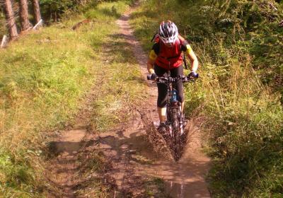
Track at http://www.gpsies.com/map.do?fileId=tqcbnfclmimwfaat
22km and 830m of climbing.
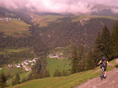
More photos at https://picasaweb.google.com/103827427036815679772/2012Nauders1?authkey=Gv1sRgCL-V6Y_3nqmFeQ#
Wera's pictures at https://picasaweb.google.com/115576074860061116725/Nauders2012?authkey=Gv1sRgCI3bhpCLt6fLfQ
Once again we used the bike holder that Jon and I designed a few years ago and once again it took 10 bikes.

... link (0 Kommentare) ... comment
http://www.gpsies.com/map.do?fileId=gpaqlcdivgbzbyes
27 kms with 300m of climbing.
... link (0 Kommentare) ... comment
The following picture is the view.
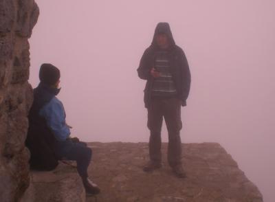
But it was fun anyway. Alison Max and I walked up the 700 meters from the car park and stopped on the way down at the Grüntenhütte for a drink.
More pictures at https://picasaweb.google.com/103827427036815679772/2012#
... link (0 Kommentare) ... comment
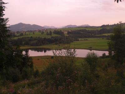
Track at http://www.gpsies.com/map.do?fileId=myvtxbpcmpxgrmyc
... link (0 Kommentare) ... comment
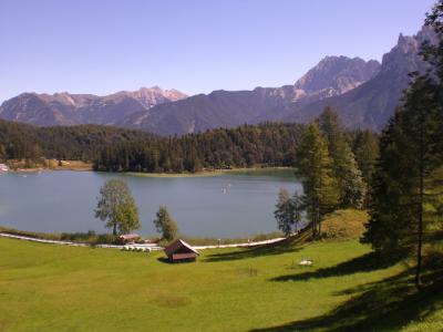
Five of us took part and they were all really fit (except me). I was really wondering what I was doing during the last hour of climbing in the sweltering heat.
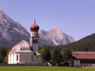
After a beer at the top things were great again. Amazing how one drink can make such a difference.
The track is at http://www.gpsies.com/map.do?fileId=rlygdegrslnpweaa. 78 kilometers and nearly 1400 meters of climbing. No wonder I was "tired".
In the evening we barbecued. It's a tough life
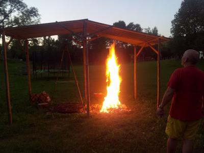
More pictures at https://picasaweb.google.com/103827427036815679772/2012CyclingV#
... link (0 Kommentare) ... comment
