Mittwoch, 29. April 2015
150429 Görisried
neill, 23:29h
Evening race bike ride. I got my second puncture of the season (and of the week) Shortly after we left which annoyed me but things got better from then on.
Because it was late, we cycled a route such that the second half of the route would be on a bike lane So it didn't matter that we returned after dark.
The section through the Wertach Valley was as steep as ever but we managed it in the middle cog.
32km and 550 meters of climbing Track is at http://www.gpsies.com/map.do?fileId=dymeznpycoubuasx
... link (0 Kommentare) ... comment
Dienstag, 28. April 2015
150427 Freyburg
neill, 00:04h
An after work mountain bike tour. There was thunder in the mountains and rain off to the west so we stayed near home.
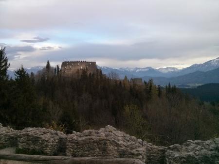
Took a diversion to the ruins of Höhenfreyburg and then stopped at the lake for a snack.
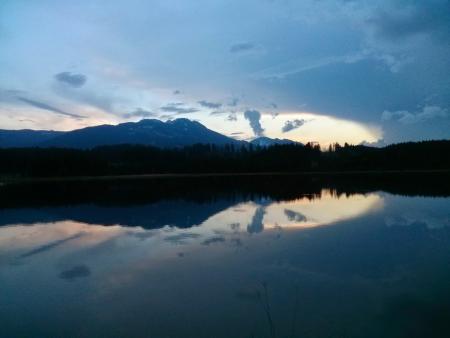
27km and 420 meters of climbing
Track at http://www.gpsies.com/map.do?fileId=ialonvzxqvtkqxia
Photos at https://plus.google.com/u/0/photos/103827427036815679772/albums/6139495333132139777

Took a diversion to the ruins of Höhenfreyburg and then stopped at the lake for a snack.

27km and 420 meters of climbing
Track at http://www.gpsies.com/map.do?fileId=ialonvzxqvtkqxia
Photos at https://plus.google.com/u/0/photos/103827427036815679772/albums/6139495333132139777
... link (0 Kommentare) ... comment
Sonntag, 26. April 2015
150426 Forgensee
neill, 23:32h
Training for Poland. The two of us cycled on our race bikes past the Hopfensee, Bannwaldsee and Forgensee.
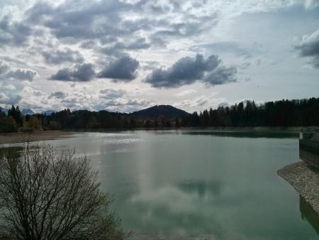
From Roßhaupten we followed a track with no tarmac which cost me a punctured tyre.
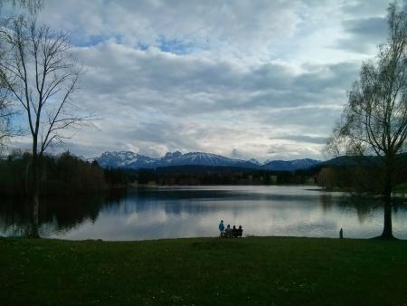
70km and 760 meters of climbing.
Track ist at http://www.gpsies.com/map.do?fileId=csrgcuomxkqkgqfa

From Roßhaupten we followed a track with no tarmac which cost me a punctured tyre.

70km and 760 meters of climbing.
Track ist at http://www.gpsies.com/map.do?fileId=csrgcuomxkqkgqfa
... link (0 Kommentare) ... comment
150425 MTB Training
neill, 09:17h
A group of ladies from the bike club went for some training in how to deal with steep downhill slopes with roots, steps and sharp curves. I attended as "official photographer".
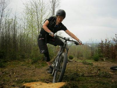
Photos at https://plus.google.com/u/0/photos/+NeillHogarth/albums/6141740589559442545
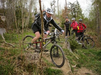
22km and 420 mters of climbing.
Track is at http://www.gpsies.com/map.do?fileId=foltlvjqfijkcrlt

Photos at https://plus.google.com/u/0/photos/+NeillHogarth/albums/6141740589559442545

22km and 420 mters of climbing.
Track is at http://www.gpsies.com/map.do?fileId=foltlvjqfijkcrlt
... link (0 Kommentare) ... comment
Donnerstag, 23. April 2015
150422 Kranzegg
neill, 10:03h
Last night I had to give a presentation at a rotary club meeting and so missed Tuesday cycling. Therefore today I went Wednesday cycling on my own.
Out to Kranzegg over the Kranzegger-Steig and then back through moosbach.
A warm evening so perfect race bike weather.
43km and 660 meters of climbing. Track is at http://www.gpsies.com/map.do?fileId=lmuqosxopywnranr
Out to Kranzegg over the Kranzegger-Steig and then back through moosbach.
A warm evening so perfect race bike weather.
43km and 660 meters of climbing. Track is at http://www.gpsies.com/map.do?fileId=lmuqosxopywnranr
... link (0 Kommentare) ... comment
Sonntag, 19. April 2015
150418-19 Woringen
neill, 20:54h
The spring tour this year started with only four people - Moni & Sepp, Hopsing and I. We rode along the Iller valley to Woringen and then back via Ottobeuren and Obergünzburg.
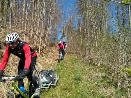
Both days there was a biting east wind and even with the sun out on Sunday it was still not perfect cycling east.
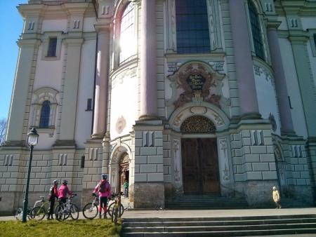
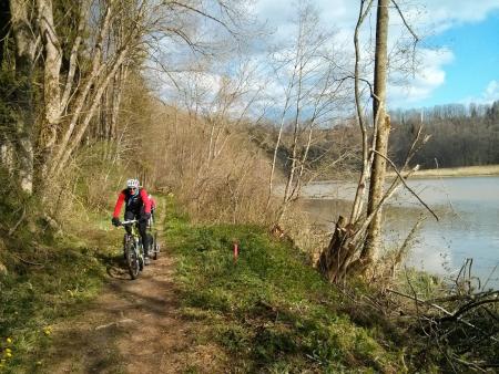
On the Saturday Sepp suggested a change of route along the riverside path next to the Illerschleife. Very adventurous, especially for Hopsing who was trying to pull a trailer.
Jon left Nesselwang on Sunday morning and met us in Obergünzbug for lunch. We cycled past the huge and impressive Ottobeuren Abbey.
Tracks are at:
Day 1 http://www.gpsies.com/map.do?fileId=okyxmigeqjzowinq
Day 2 http://www.gpsies.com/map.do?fileId=fjuyemxufucqunsj
A total of 130 kilometers with 1760 meters of climbing.
My photos are at https://plus.google.com/u/0/photos/103827427036815679772/albums/6139495333132139777?sort=1
Google has created a "story" which is at https://plus.google.com/u/0/103827427036815679772/stories/fbc9f9d6-32b8-3fbe-884c-b79d55fe3edc14cd3d875b4?cfem=1
A video by Jon is at https://youtu.be/iz4z7TyuOiY

Both days there was a biting east wind and even with the sun out on Sunday it was still not perfect cycling east.

On the Saturday Sepp suggested a change of route along the riverside path next to the Illerschleife. Very adventurous, especially for Hopsing who was trying to pull a trailer.

Jon left Nesselwang on Sunday morning and met us in Obergünzbug for lunch. We cycled past the huge and impressive Ottobeuren Abbey.
Tracks are at:
Day 1 http://www.gpsies.com/map.do?fileId=okyxmigeqjzowinq
Day 2 http://www.gpsies.com/map.do?fileId=fjuyemxufucqunsj
A total of 130 kilometers with 1760 meters of climbing.
My photos are at https://plus.google.com/u/0/photos/103827427036815679772/albums/6139495333132139777?sort=1
Google has created a "story" which is at https://plus.google.com/u/0/103827427036815679772/stories/fbc9f9d6-32b8-3fbe-884c-b79d55fe3edc14cd3d875b4?cfem=1
A video by Jon is at https://youtu.be/iz4z7TyuOiY
... link (0 Kommentare) ... comment
Sonntag, 12. April 2015
150412 Tannheimertal
neill, 19:21h
A gentle Sunday ride with the Farinas. From Neselwang to Unterjoch and a coffee. Then on to the Vilsalpsee to enjoy the view. Back down in to Germany and to the Fallmühle for lunch. Finally the last 11 kilometers back to Nesselwang for an ice cream.
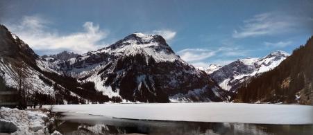
Keeping fit is so difficult.
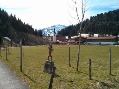
58 kms with 710 meters of climbing. Track is at http://www.gpsies.com/map.do?fileId=gxvtektqycmzzdvi
Photos at https://plus.google.com/u/0/photos/103827427036815679772/albums/6123509302367272865?sort=1

Keeping fit is so difficult.

58 kms with 710 meters of climbing. Track is at http://www.gpsies.com/map.do?fileId=gxvtektqycmzzdvi
Photos at https://plus.google.com/u/0/photos/103827427036815679772/albums/6123509302367272865?sort=1
... link (1 Kommentar) ... comment
Samstag, 11. April 2015
150411 Immenstadt
neill, 19:09h
100 kilometers through the Allgäu and Ausserfern countryside.
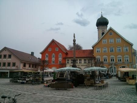
Summer in Immenstadt and winter in Tannheimertal. Heidi and I out for six hours on our race bikes.
First to Durach and then along the Iller River to Immenstadt. Coffee and a small lunch in the market place at the castle.
Through Sonthofen and on up the Jochpass. I still needed some time in zone 3 this week so the half hour climb up the Jochpass was the perfect opportunity. Home through the Tannheimer and Ach valleys with a stop for coffee in Tannheim.
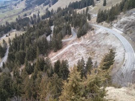
My GPS fell off the handlebars at a cattle grid in Achtal which is why there is a break in the track at this point. It bounced down the road but survived (again).
104 km with 1360 meters of climbing. Track is at http://www.gpsies.com/map.do?fileId=yrffouicqujgqbix
Pictures at https://plus.google.com/u/0/photos/103827427036815679772/albums/6123509302367272865
Summer in Immenstadt and winter in Tannheimertal. Heidi and I out for six hours on our race bikes.
First to Durach and then along the Iller River to Immenstadt. Coffee and a small lunch in the market place at the castle.

Through Sonthofen and on up the Jochpass. I still needed some time in zone 3 this week so the half hour climb up the Jochpass was the perfect opportunity. Home through the Tannheimer and Ach valleys with a stop for coffee in Tannheim.

My GPS fell off the handlebars at a cattle grid in Achtal which is why there is a break in the track at this point. It bounced down the road but survived (again).
104 km with 1360 meters of climbing. Track is at http://www.gpsies.com/map.do?fileId=yrffouicqujgqbix
Pictures at https://plus.google.com/u/0/photos/103827427036815679772/albums/6123509302367272865
... link (0 Kommentare) ... comment
Donnerstag, 9. April 2015
150408 Grüntensee
neill, 00:04h
A quick race bike tour round the lake after work.
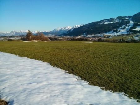
22km with 300 meters of climbing. Track is at https://www.gpsies.com/map.do?fileId=rosfqlmhounpdown

22km with 300 meters of climbing. Track is at https://www.gpsies.com/map.do?fileId=rosfqlmhounpdown
... link (0 Kommentare) ... comment
Freitag, 3. April 2015
150403 Kaltental
neill, 18:52h
My bikes have been to Jon's this week for a complete service. It is great having perfectly maintained bikes. Picked my race bike up this morning - thanks for getting up Jon - and then drove downhill out of the snow.
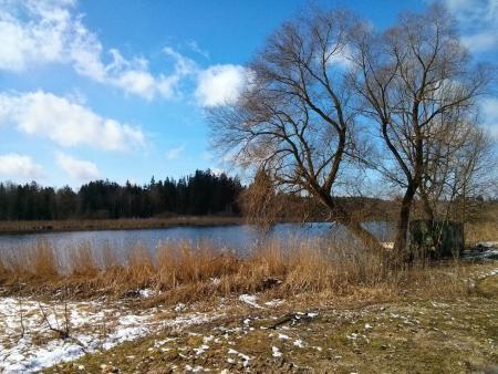
In Marktoberdorf we parked and then cycled north through Kaltental and then across to Kaufbeuren for a cappucino. From Kaufbeuren back along the wertach valley to the car.
A leisurely 71 kilometers with only 500 meters of climbing. A moving average of over 21km/h. Track is at http://www.gpsies.com/map.do?fileId=rfjrunocwizuanjt
Photos at https://plus.google.com/u/0/photos/103827427036815679772/albums/6123509302367272865
... link (0 Kommentare) ... comment
... nächste Seite
