
Sonntag, 11. Mai 2014
140508 Hanging Bridge
neill, 17:40h
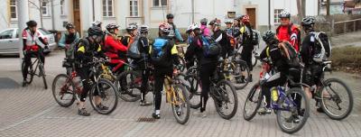
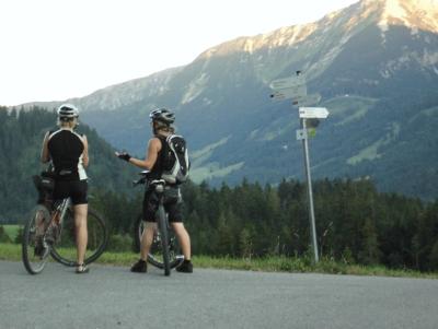
Out with the Thursday Bikers. We did the hanging bridge route with some new variations. Great fun.
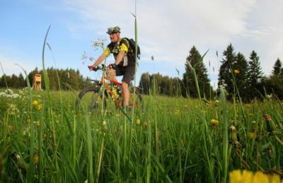
31.5km and 400 meters of climbing.
Track is at http://www.gpsies.com/map.do?fileId=arhyajsxqiwwjpjk
Pictures at https://plus.google.com/u/0/photos/103827427036815679772/albums/6008547758484876929?authkey=CK_H6OKh2s3T4gE
Jons Ftos at https://plus.google.com/photos/+JonFrench/albums/6001035885012242001/6011331495165994786?pid=6011331495165994786&oid=100547066824249637955
... link (0 Kommentare) ... comment
Donnerstag, 1. Mai 2014
140501 Pfronten
neill, 23:48h
May day and a bank holiday so we left earlier than usual. Great tour round Pfronten ending up in a restaurant in Pfronten and then catching the train home because of the pouring rain.
20 kms with 450 meters of climbing.
Track is at http://www.gpsies.com/map.do?fileId=pcsmuqqomnmfrgml
Pictures at https://plus.google.com/photos/103827427036815679772/albums/6008547758484876929?authkey=CK_H6OKh2s3T4gE
20 kms with 450 meters of climbing.
Track is at http://www.gpsies.com/map.do?fileId=pcsmuqqomnmfrgml
Pictures at https://plus.google.com/photos/103827427036815679772/albums/6008547758484876929?authkey=CK_H6OKh2s3T4gE
... link (0 Kommentare) ... comment
Freitag, 11. April 2014
140410 Mühlbach
neill, 00:34h
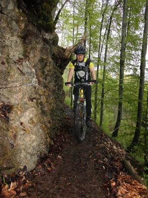
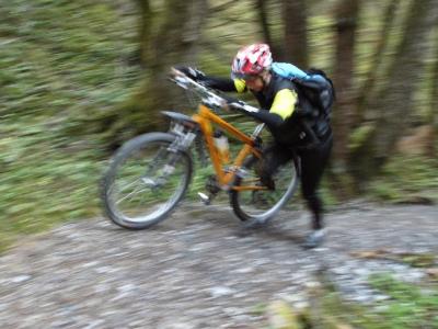
Thursday evening and we followed Karin on a "make it up as you go along" route through the countryside. The track included the Mühlbach which is a great trail beside a stream. Two people crashed on the way down but we all survived.
19km and 400 meters of climbing.
Track is at http://www.gpsies.com/map.do?fileId=nuckqybhysrkcrte
19km and 400 meters of climbing.
Track is at http://www.gpsies.com/map.do?fileId=nuckqybhysrkcrte
... link (0 Kommentare) ... comment
Freitag, 4. April 2014
140403 Sieben Weiher
neill, 00:17h
The first tour with the Thursday Biking Group. As every year we started with the "Sieben Weiher Tour".
23.5 km with 320 meters of climbing
Track at http://www.gpsies.com/map.do?fileId=vpomejrqvftquzwn
Photos at https://plus.google.com/u/0/photos/103827427036815679772/albums/5993643586090804945
23.5 km with 320 meters of climbing
Track at http://www.gpsies.com/map.do?fileId=vpomejrqvftquzwn
Photos at https://plus.google.com/u/0/photos/103827427036815679772/albums/5993643586090804945
... link (0 Kommentare) ... comment
Samstag, 31. August 2013
130829 Beichelstein
neill, 22:13h
The evenings are getting shorter so we need to stay a little closer to home or be sure we do the dark part of the tour on good tracks.
Tonight we chose the second option and just got down off the Beichelstein before dark.
Great picture from Jon
My (three) photos at https://plus.google.com/photos/103827427036815679772/albums/5903015570987104113?banner=pwa
32 kms and 570 meters of climbing. Track at
http://www.gpsies.com/map.do?fileId=xgpjyczgwbqluyzq
Jon's photos at https://plus.google.com/photos/100547066824249637955/albums/5865862959006086625/5917865466616081458?pid=5917865466616081458&oid=100547066824249637955
... link (0 Kommentare) ... comment
Freitag, 23. August 2013
130822 Bayerstetter Köpfel
neill, 09:21h
Thursday evening and seven of us were out with our mountain bikes.
After climbing up to the Bayerstetter Köpfel and then trailing back down, we enjoyed a variety of paths near the Grüntensee.
20kms and 500 meters of climb
Track is at http://www.gpsies.com/map.do?fileId=lqlwolvukczzkcrf

Photos at https://plus.google.com/photos/103827427036815679772/albums/5903015570987104113?banner=pwa
After climbing up to the Bayerstetter Köpfel and then trailing back down, we enjoyed a variety of paths near the Grüntensee.
20kms and 500 meters of climb
Track is at http://www.gpsies.com/map.do?fileId=lqlwolvukczzkcrf
Photos at https://plus.google.com/photos/103827427036815679772/albums/5903015570987104113?banner=pwa
... link (0 Kommentare) ... comment
Freitag, 2. August 2013
130801 Rehbach (Vilstal backwards)
neill, 21:10h
Met on Thursday evening for one of our "standard tours" and then decided to do it the other way round. Amazing the things you see when you ride the "other way round".
As requested by Wera, we also added in a small diversion on the way to Wertach.
43 kms and nearly 700 meters of climbing
http://www.gpsies.com/map.do?fileId=lmnzjzbefwhewlpw
Pictures at https://plus.google.com/photos/103827427036815679772/albums/5903015570987104113?banner=pwa
As requested by Wera, we also added in a small diversion on the way to Wertach.
43 kms and nearly 700 meters of climbing
http://www.gpsies.com/map.do?fileId=lmnzjzbefwhewlpw
Pictures at https://plus.google.com/photos/103827427036815679772/albums/5903015570987104113?banner=pwa
... link (0 Kommentare) ... comment
Samstag, 27. Juli 2013
130725 Bärenmoos
neill, 11:36h
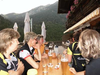
Only six of us this evening. We cycled to Pfronten and then up to the Bärenmoos Alm. Enjoyed a drink and the views at sunset in to the mountains.
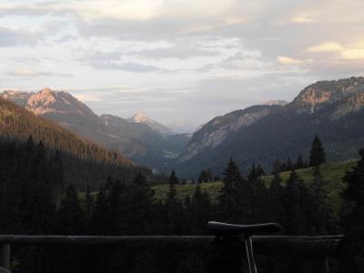
On the way home we stopped off at the Kögelweiher for a swim and to enjoy the moon rise.
36 kms and 700 meters of climbing.
Track is at http://www.gpsies.com/map.do?fileId=thvnykbpoytlphdc
Pictures at https://plus.google.com/photos/103827427036815679772/albums/5887203753058455121/5905198345684128642?banner=pwa&pid=5905198345684128642&oid=103827427036815679772
Jon's pictures at https://plus.google.com/photos/100547066824249637955/albums/5865862959006086625/5904896672989803170?pid=5904896672989803170&oid=100547066824249637955
... link (0 Kommentare) ... comment
Freitag, 19. Juli 2013
130718 Vilser Alm
neill, 09:24h
Thursday evening and another lovely evening. While the cracks in Group 1 stormed up the Breitenberg, we cycled across the border to Vils in Austria and then up to the Vilser Alm. After a drink we cycled back via the hidden back paths of Pfronten.
40 kilometers with 620 meters of climbing
Track at http://www.gpsies.com/map.do?fileId=qrsmzytgzlpyehxb
My pictures are at https://plus.google.com/photos/103827427036815679772/albums/5903015570987104113?banner=pwa
Jon's pictures at https://plus.google.com/photos/100547066824249637955/albums/5865862959006086625/5902245300446719762?pid=5902245300446719762&oid=100547066824249637955
... link (0 Kommentare) ... comment
Samstag, 13. Juli 2013
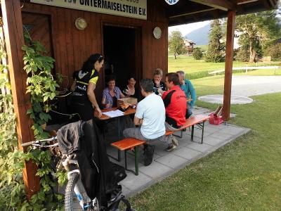
110711 Untermaiselstein
neill, 23:54h
Heidi and I had to attend a meeting in Untermaiselstein so, rather than miss an evenings cycling, we cycled there and back.
Photos at https://picasaweb.google.com/103827427036815679772/2013CyclingIV?noredirect=1#5900192242510684034
45 kms and 650 meters of climbing
Track at http://www.gpsies.com/map.do?fileId=vakdzlpgzsydjowu
Photos at https://picasaweb.google.com/103827427036815679772/2013CyclingIV?noredirect=1#5900192242510684034
45 kms and 650 meters of climbing
Track at http://www.gpsies.com/map.do?fileId=vakdzlpgzsydjowu
... link (0 Kommentare) ... comment
... nächste Seite